

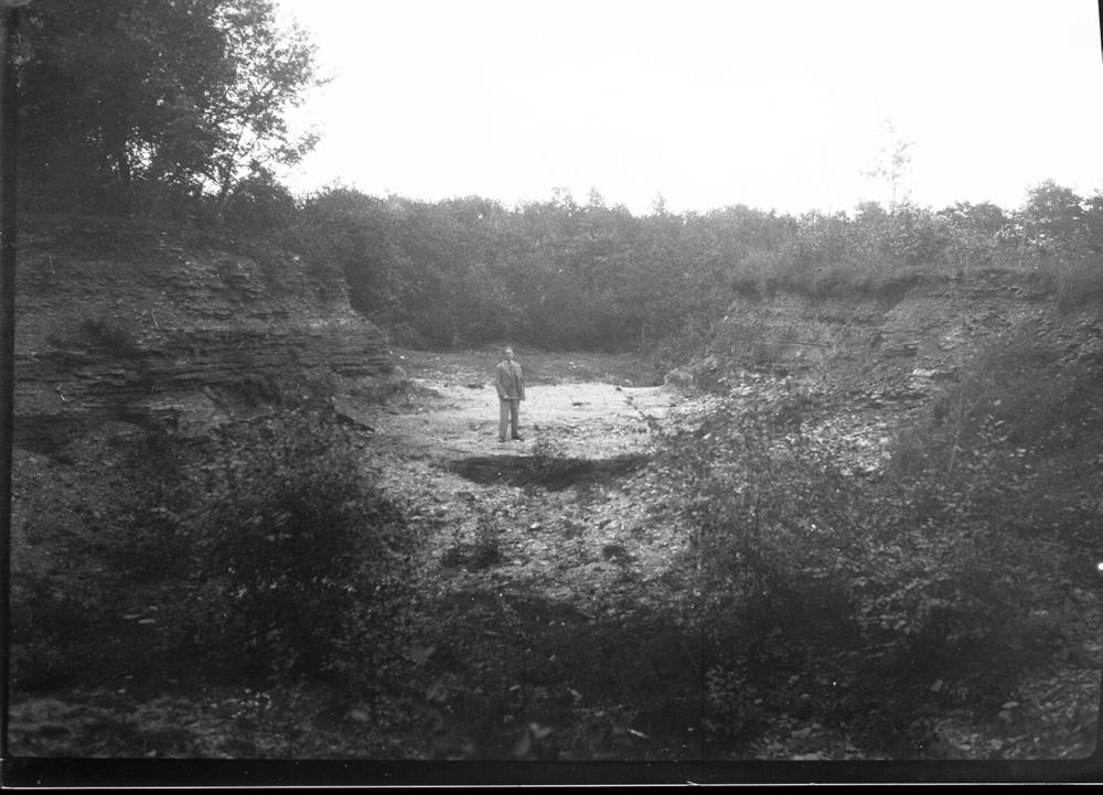
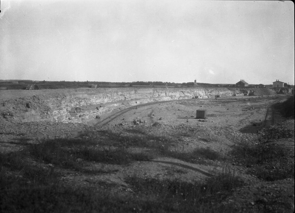

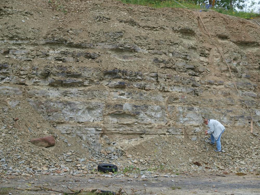
| Name | Aluvere quarry |
| Type | outcrop |
| Country | Estonia |
| Parish | Sõmeru |
| Settlement | Roodevälja |
| Coordinates | 59.381012, 26.404251 |
| Coordinate system | EPSG:3301 |
| X | 6585008 |
| Y | 636627 |
| Coordinate precision | 1-10 m |
| Coord. method | Est Land Board map server |
| Coord. agent | Hints, Olle |
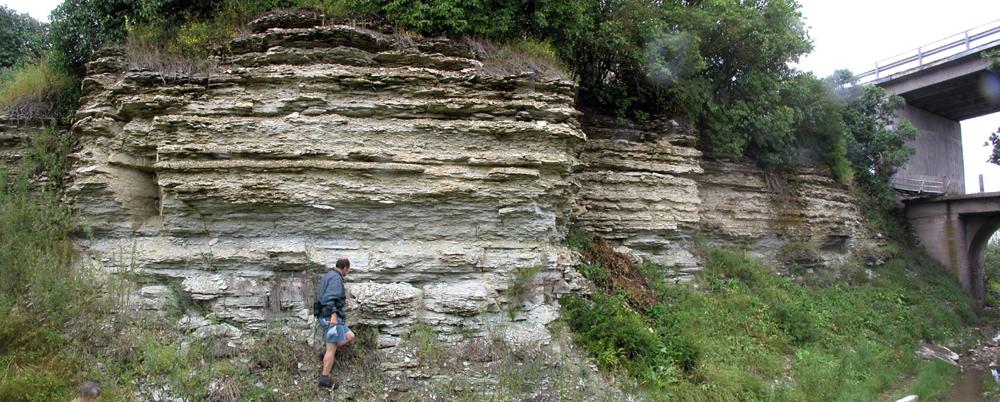
| Location remarks | Ca 2 km Rakverest kirdes. Koordinaadid määratud murdu allasõidu tee otsas. Aluvere kihistiku holostratotüüp (Jõhvi kihistu, Viru ladestik, Ordoviitsiumi ladestu) |
| Strat. top | Jõhvi Substage |
| Strat. base | Idavere Substage |
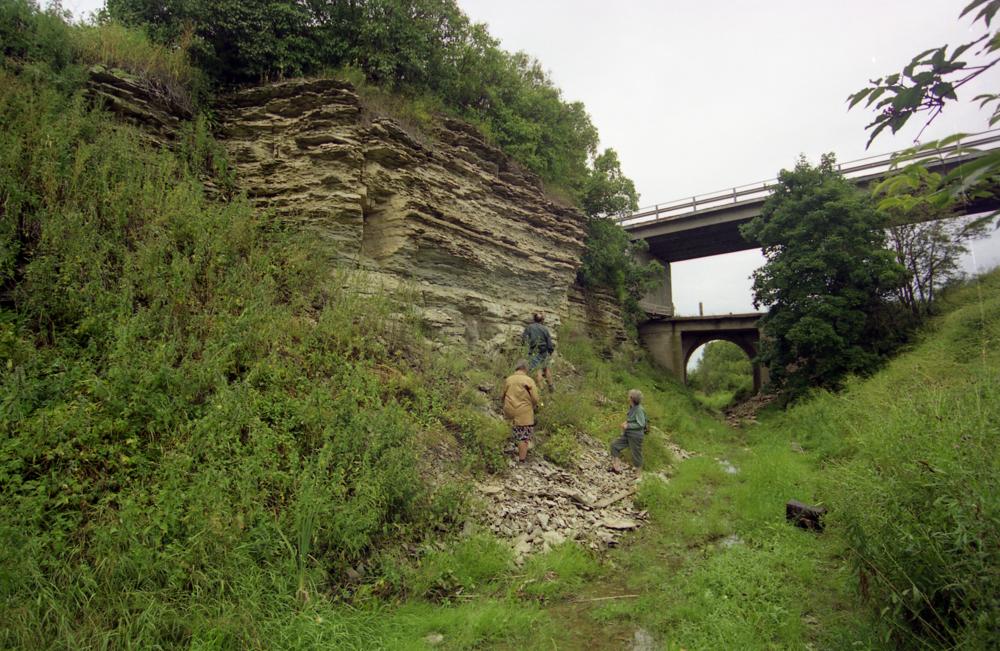
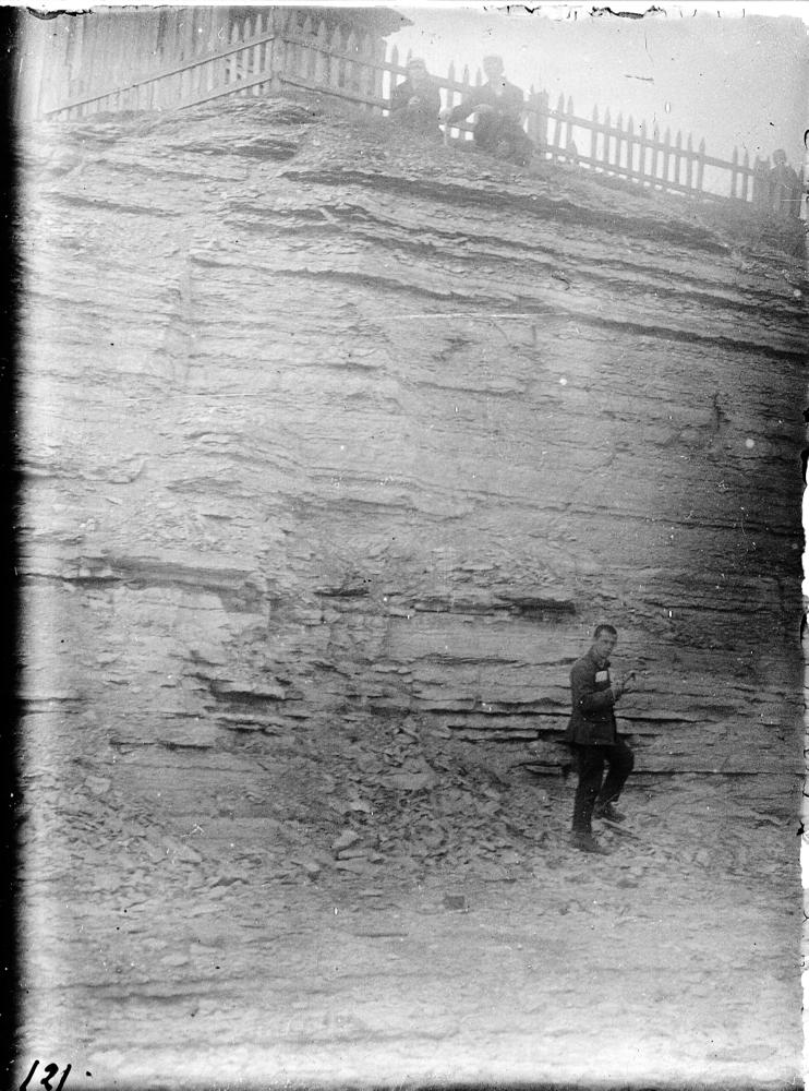
| Remarks | Paremini paljanduv osa on raudteeviaduktist lõunasse jääv murru perv elumaja kohal. Idavere lademe hüpostratotüüp |
| Date changed | 2024-02-28 |
Browse Geocollections
Partners

